
nullptr
Full Access Member
Usually I go on vacation in July to Michigan to visit the family. We usually spend a few days in the UP, because the UP is awesome. As a bonus in the last couple of years there's been a huge boom in craft breweries up there, and some of them are <i>quite</i> good! I recommend KBC Widowmaker and almost always bring some back to Florida with me.  arty52:
The bridge crossing was pretty neat, what with the rain. I was a bit disappointed there weren't any freighters passing underneath, but you can't win them all.
[YT]pHcf9fnjfmQ[/YT]
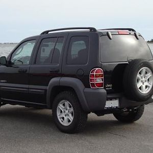
Anyway, we had a bit of fun with the Jeep on one of the days.
[YT]2WH1OWoRQ9Y[/YT]
This trail was listed as a 'State Forestry Road' on the map we were using, and indeed, it even shows up on google maps! At least... some of it does. It shows it going up to a ridge and ending, it did not, and instead looped to the west and intersected the road we wanted to be on anyway.
You can see the road we took if you find SFR 2276 between Munising Junction and Stillman/Coalwood in Alger County MI and follow it to just before the pond that is the source of Cole Creek (46.364N 86.7534W).
This video starts... a good ways down the trail. The first part of the trail seemed a lot more heavily traveled than the last part did. It's worth noting that once we got on SFR 575 it was apparent that the trail was marked CLOSED on 575. There was no indication from the other way that this was the case. :thumbsdown:
We made our own exit onto 575. :icon_lol:
arty52:The bridge crossing was pretty neat, what with the rain. I was a bit disappointed there weren't any freighters passing underneath, but you can't win them all.
[YT]pHcf9fnjfmQ[/YT]
Anyway, we had a bit of fun with the Jeep on one of the days.
[YT]2WH1OWoRQ9Y[/YT]
This trail was listed as a 'State Forestry Road' on the map we were using, and indeed, it even shows up on google maps! At least... some of it does. It shows it going up to a ridge and ending, it did not, and instead looped to the west and intersected the road we wanted to be on anyway.
You can see the road we took if you find SFR 2276 between Munising Junction and Stillman/Coalwood in Alger County MI and follow it to just before the pond that is the source of Cole Creek (46.364N 86.7534W).
This video starts... a good ways down the trail. The first part of the trail seemed a lot more heavily traveled than the last part did. It's worth noting that once we got on SFR 575 it was apparent that the trail was marked CLOSED on 575. There was no indication from the other way that this was the case. :thumbsdown:
We made our own exit onto 575. :icon_lol:
Last edited: